Japan is one of the few countries in the world with a wide variety of landforms and geological features due to its frequent earthquakes and many volcanos. You can see and experience all kinds of phenomena in Japan that are living stories of Earth's history.
At a Geopark, you can see not only landforms, rocks, minerals, fossils, geological formations, underground water, and hot springs, but also observe everything from the lifestyle and history to the culture of the people who lived in the region.
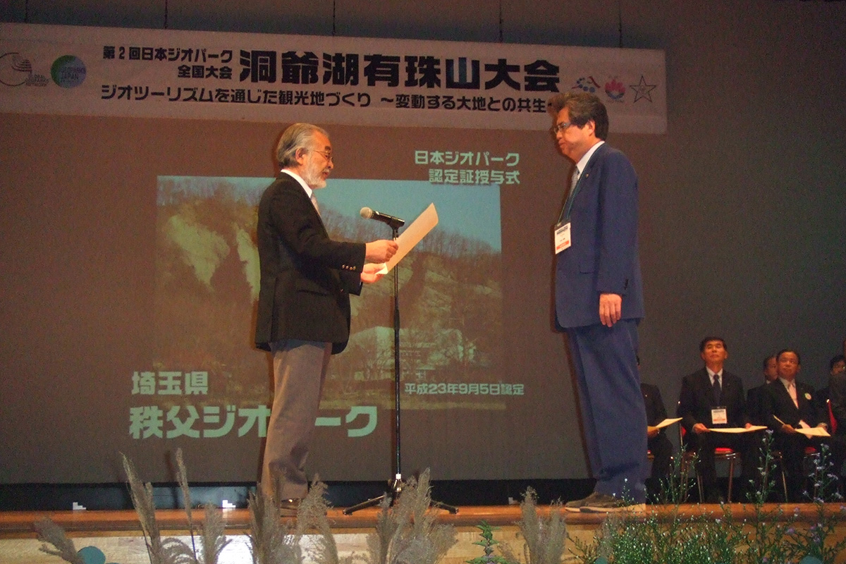
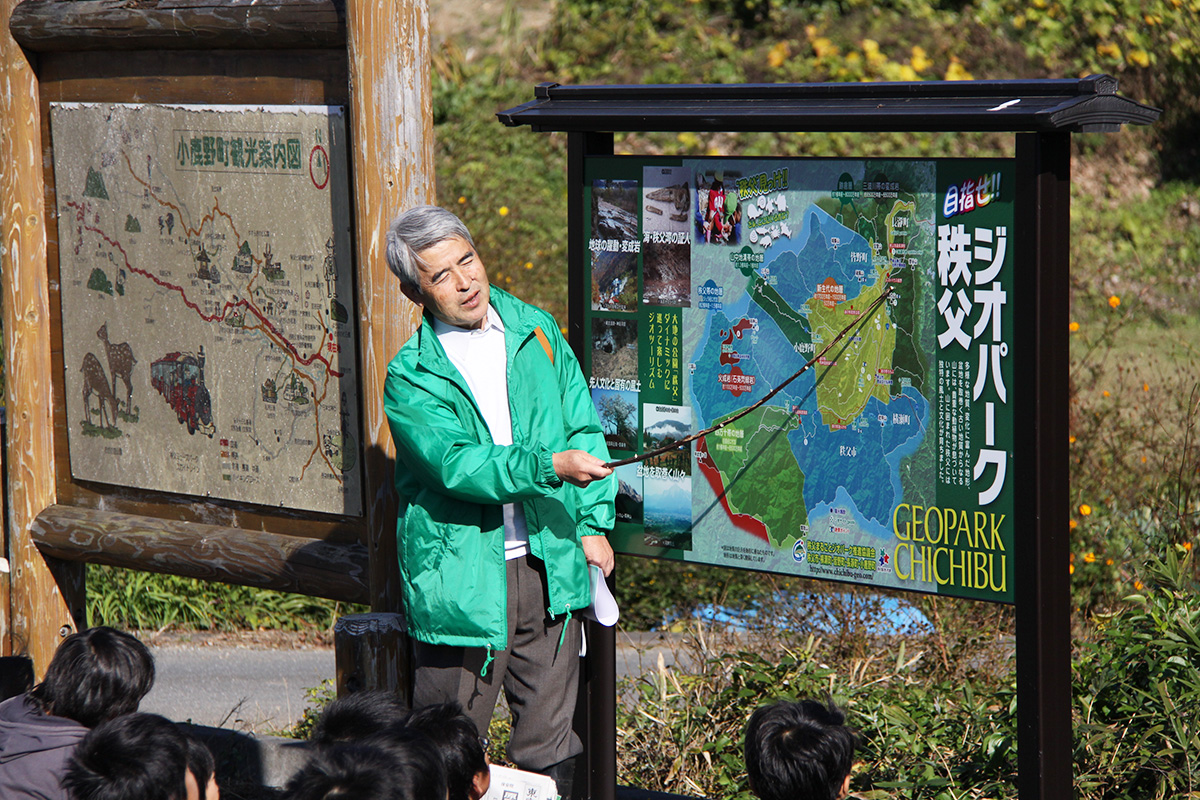
Chichibu Geopark spans an area (roughly 89,250ha in size) covering the Chichibu region comprised of one city (Chichibu City) and four towns (Yokoze, Minano, Nagatoro, Ogano). In 2011, it was certified as the 15th Japanese Geopark at the time (currently there are 44 Geoparks in Japan). Later, it was certified again in 2015 and has been certified until today.
The Chichibu Geopark Promotion Council, which is an organization consisting of NPOs, government offices, and tourist groups, play a central role in promoting geopark activities throughout the region.
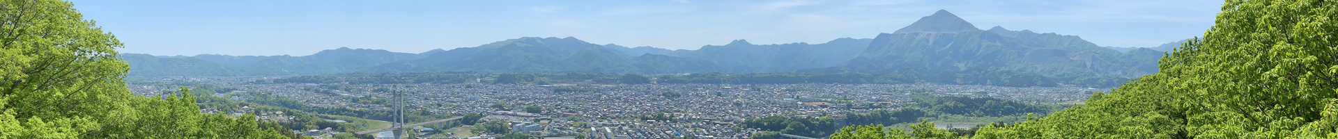
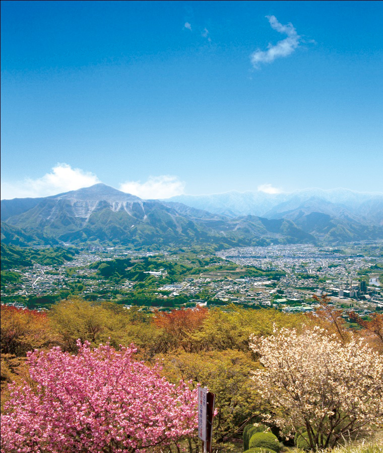
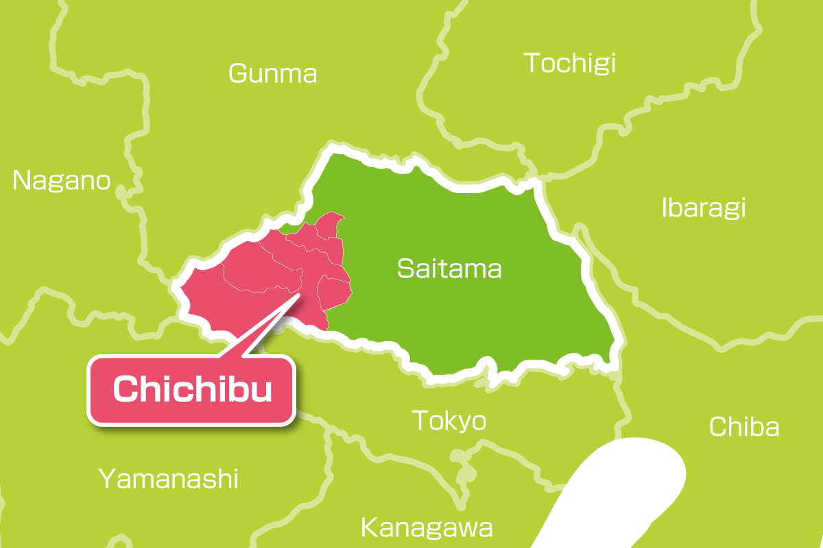
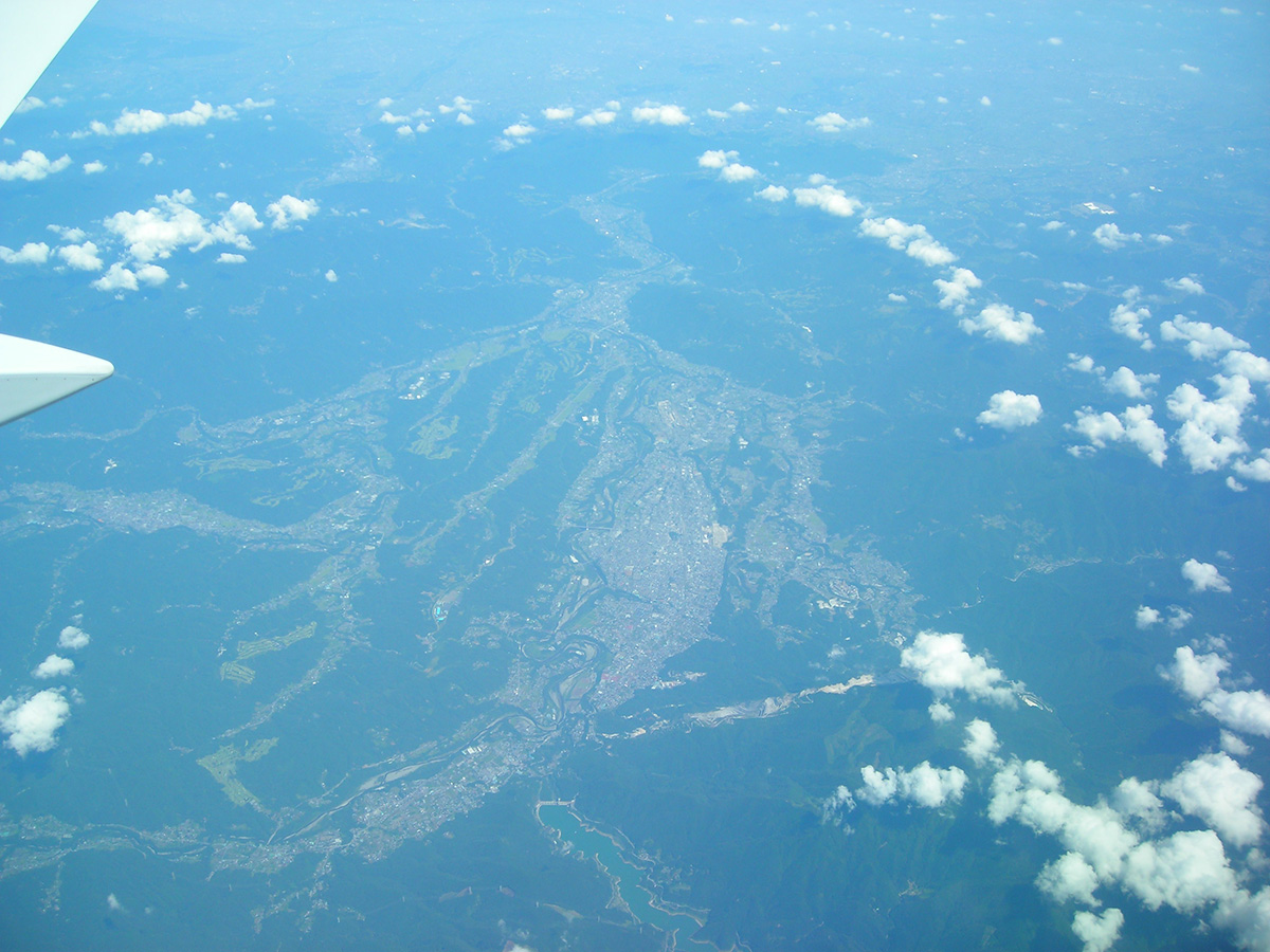
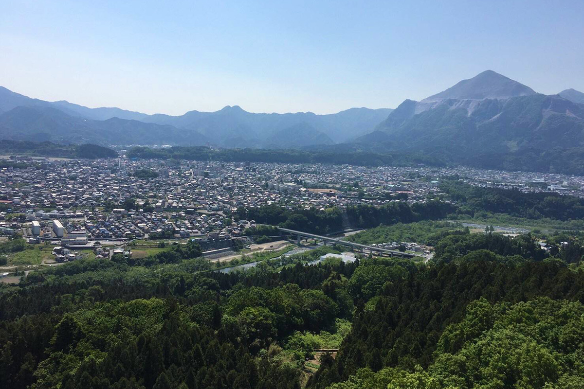
The Chichibu region in western Saitama Prefecture is located 60–80km from the heart of Tokyo and occupies a part of the Kanto Mountains that run down the west of Kanto Plain. In the center of the region is Chichibu Basin, surrounded by mountains and featuring a river terrace with flat strips of land in step-like form. Arakawa River and its tributaries come together in the northeast of Chichibu Basin and flow from Nagatoro to Kanto Plain.
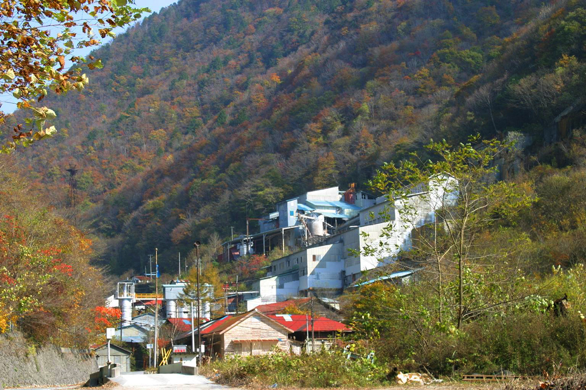
Since the Edo period, the textile industry such as silk fabric as represented by the Chichibu-Meisen had developed in this region. From the Taisho period onward, the mining and manufacturing industries expanded led by the cement-related industry that flourished by using limestone from Mount Buko as a raw material. In the Showa period, the Chichibu Mine produced the second most iron ore in Japan. Currently, the manufacturing industry such as the precision machinery industry and the tourist industry are the main industries of the region.
Roughly 84% of the Chichibu region is covered in forest, and it has abundant nature that can be experienced at the Chichibu Tama Kai National Park and five prefectural natural parks. Temperature differences can be extreme due to the inland climate, and this makes seasonal changes very pronounced. In particular, the winter cold can be severe and icicles can be observed in the valleys. Although rainfall is less than the national average, thunderstorms in the summer and typhoons in the autumn can cause torrential rain. In addition, dense fogs occur frequently due to radiation fogs in the late fall, and a sea of clouds can be seen.
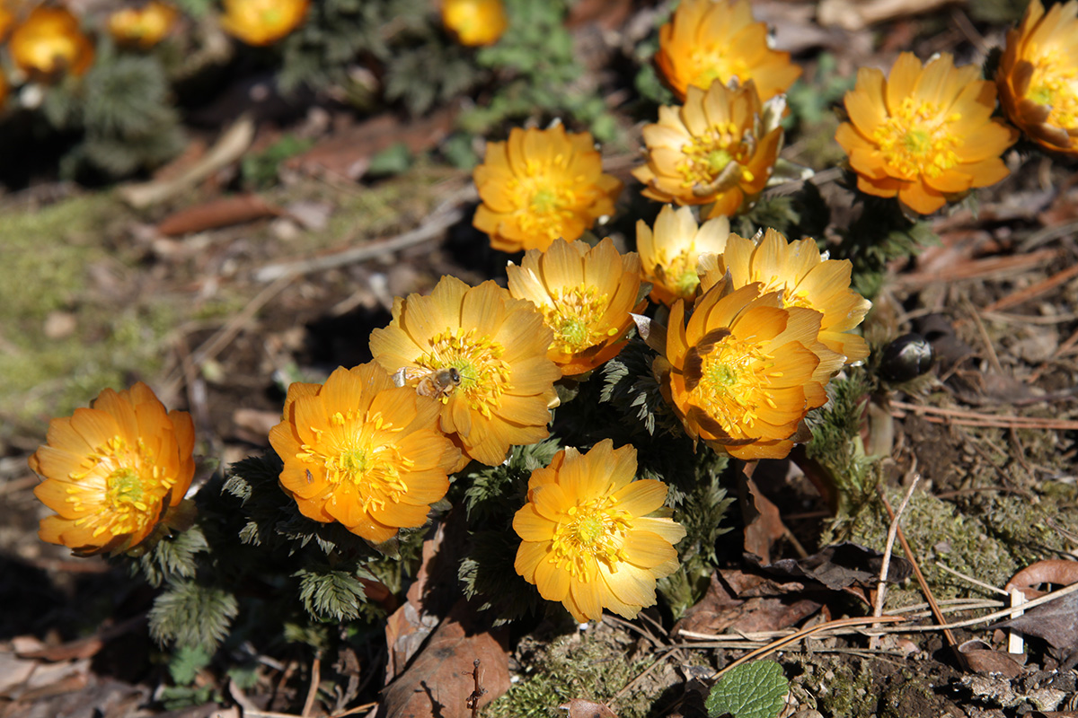
Adonis ramosa species 'Chichibu Beni'
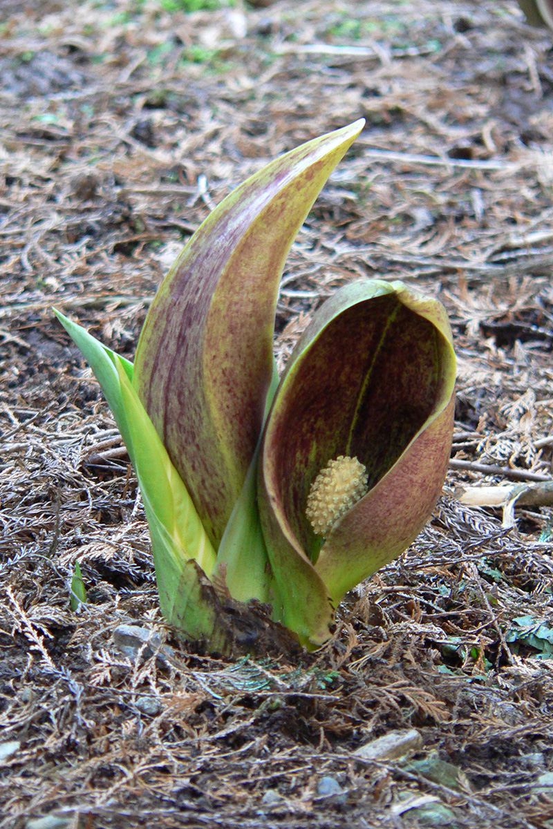
Eastern skunk cabbage (Arakawa/Yokoze area)
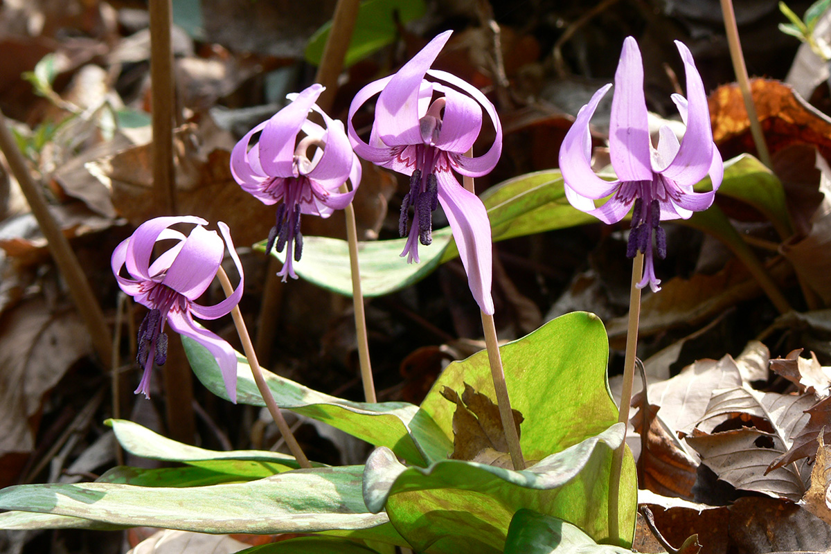
Dogtooth violet (All Chichibu area)
The region as a whole has a variety of historical and cultural heritages. These include ruins from the Paleolithic and Sengoku (Civil Wars) periods, a group of ancient tombs, the Wado Ruins where it is said that copper (the raw material for Japan’s oldest currency in circulation) was mined, Chichibu Okan (an ancient highway), Chichibu Sanja (three shrines of Chichibu: Chichibu Shrine, Mitsumine Shrine, Hodosan Shrine), the Chichibu 34 Kannon Pilgrimage, a historic spot of the Chichibu Incident (a freedom and people’s rights movement that occurred in the 19th century), and many festivals as represented by the Chichibu Night Festival. The Chichibu region has thus formed an original cultural area.
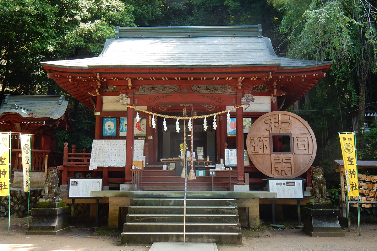
Hijiri Shrine (Chichibu city kuroya )
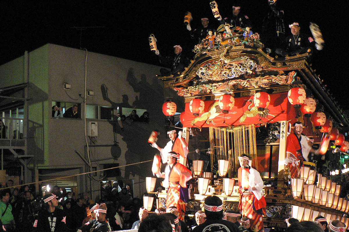
Chichibu Night Festival(Chichibu city December 2 & 3)
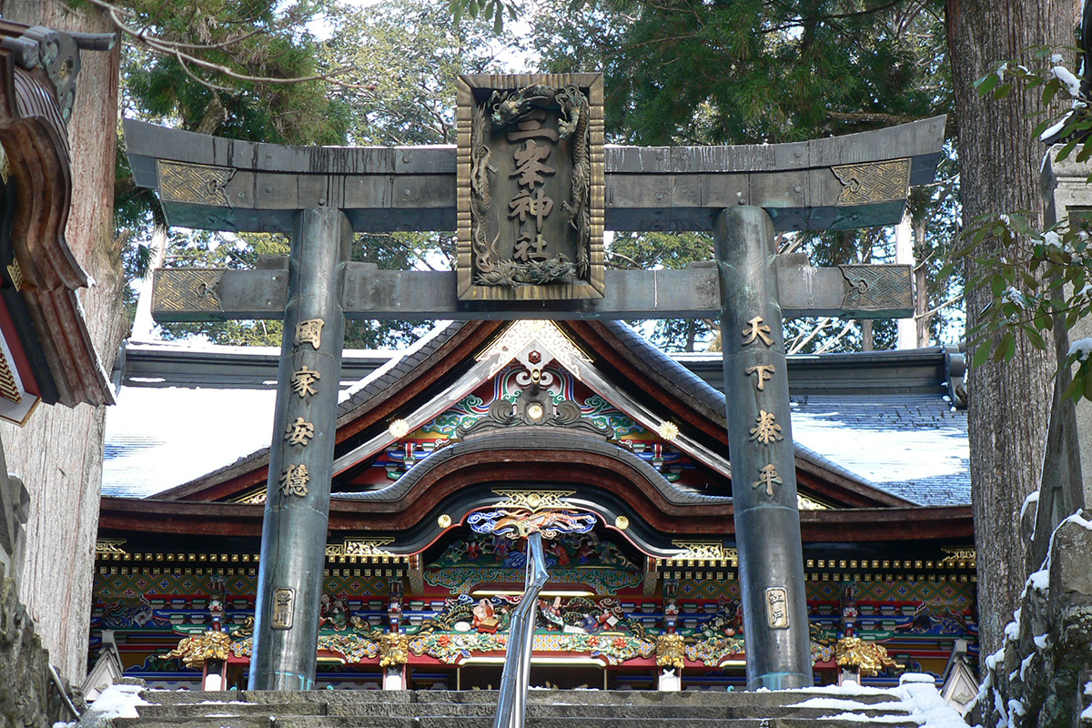
Three Shrines of Chichibu 'Mitsumine Shrine'(Chichibu city mitsumine)
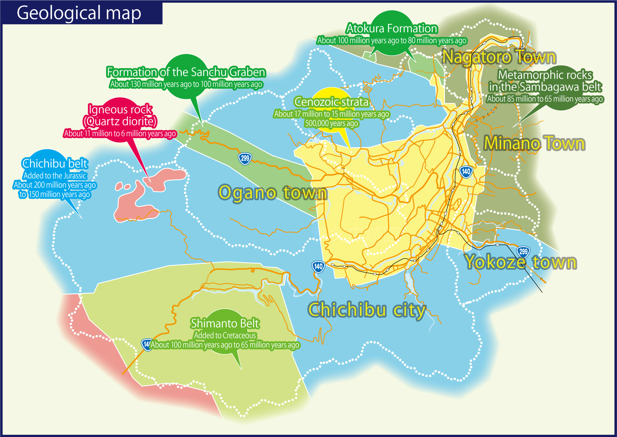
The area of Chichibu Geopark is located in the northeast of Kanto Mountains that span across the west of Kanto Plain, and is divided into Okuchichibu Mountains, Jobu Mountains, Sotochichibu Mountains, and Chichibu concave area. The Okuchichibu Mountains consist of a range of mountains that are around 2,000m tall, and the landform is generally steep and protruding characterized by summits and narrow valleys. The Jobu Mountains and Sotochichibu Mountains are a range of smaller mountains less than 1,000m tall, and the gently-sloped areas until about halfway up the mountains are cultivated and colonized. The Chichibu concave area is centered on the Chichibu Basin and comprises a mountainous rift valley that stretches across the northwest and a valley that spans to the southeast. It forms a recessed valley that divides the Okuchichibu Mountains from the Jobu and Sotochichibu Mountains.
The Chichibu region is located near Tokyo, and it has been the site of numerous pioneering research in modern geological studies in Japan since the Meiji era. Foundational research on the Japanese Archipelago has been carried out in this region, and it has helped foster many geology students thereafter. In honor of these contributions, the Chichibu region is today referred as the “birthplace of geological studies in Japan.” New research is still being carried out to this day. For example, the region has uncovered new knowledge on accretionary wedges (sediments accreted onto the land due to the movement of tectonic plates), and it is considered one of the bases of geological studies that transmits new findings to the world.
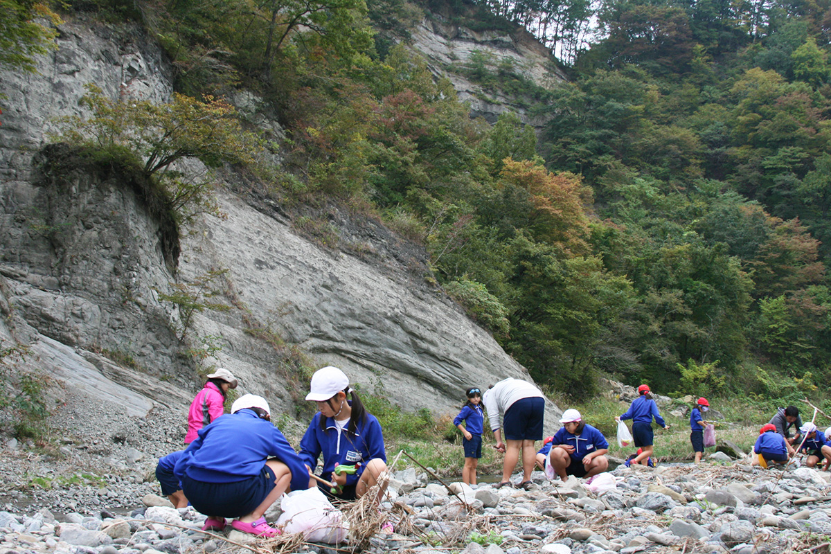
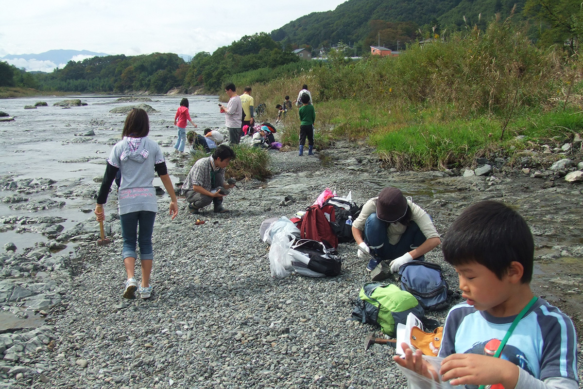
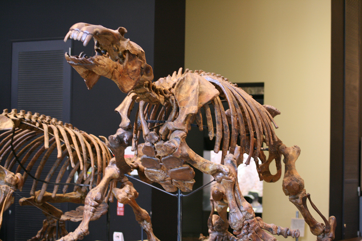
The Chichibu Basin has layers of sediment that were deposited over the sea bed approximately 17 to 15 million years in the past. It graciously preserves a variety of sedimentary structures that resulted from crustal movements, as well as a diverse fossil assemblage starting with fossils of large mammals and fishes such as Paleoparadoxia, Chichibu whale, and Chichibu Sawara (Japanese Spanish mackerel).
The stratum along Arakawa River in the Chichibu Basin is formed of river terrace deposits. The deposits comprise a gravel layer deposited on river beaches in the past including Arakawa River, as well as a clay layer and a loam layer on top of that depending on the location.
The stratum of Mount Kobushi, which is near the headwaters of Arakawa River that flows into Tokyo Bay, shows the intrusion of granites approximately 9 million years ago resulting in sedimentary rocks metamorphosed into hornfels. The Nakatsugawa River area, which is one of the tributaries of the upper stream of Arakawa River, shows the intrusion of Chichibu tonalite (a type of granite) around 6 million years ago resulting in the formation of skarn deposits.
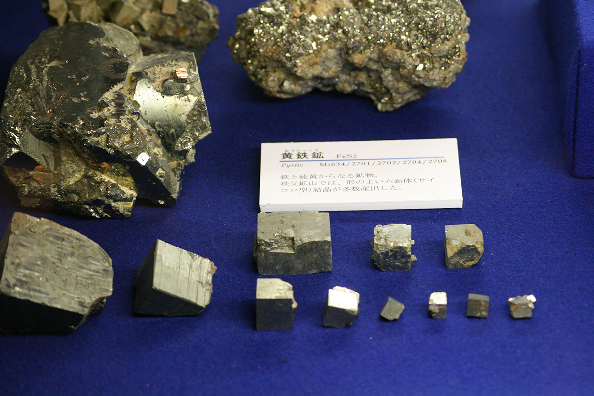
The Chichibu Mine, which has a long history, has produced metal ores such as gold, silver, copper, lead, zinc, and iron. In the Showa era, it was known as one of Japan's leading iron mines. Today, it is the mining site of crystalline limestone (marble), which is a nonmetal.