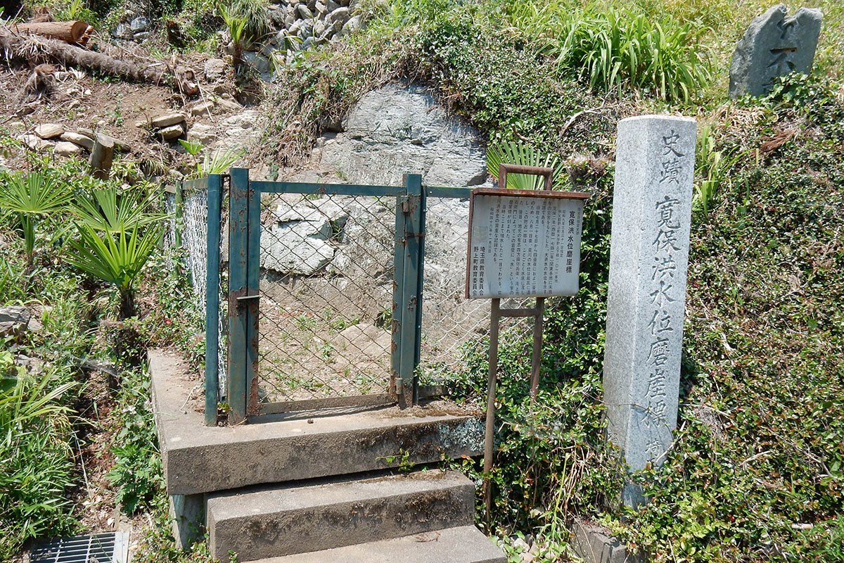
Kampo Kozuii MagaihyoCulture/History Site
Basic points
During the Edo period, a torrential rain that lasted for four days caused the Arakawa River to flood, and the water level rose up to 18m, leaving even some parts of this area submerged in water. There is a rock with the Japanese character for water carved into it to indicate the water level at that time.
This area is the only place in the Chichibu Basin where water flows out, and as a result the river in this area is far more narrow than the rest of the river spread across the basin.
Map